

The Denver-area neighborhoods with the most direct outdoor access are Sloan’s Lake and Wash Park in the city and Applewood, Wheat Ridge, Golden and Lakewood on the west side, where trails, open space and Interstate 70 sit minutes away.
Denver’s reputation as an outdoor city is earned, but how easily you get outside depends a lot on where you live. Two homes twenty minutes apart can mean the difference between a run on a lake loop before work and a drive across town to reach the nearest trailhead. The foothills are visible from almost everywhere in the metro, yet the time it takes to reach them varies widely.
Outdoor access also comes in different forms. Some neighborhoods are built around a large urban park. Others sit on a regional trail that connects for miles. And some are close enough to the foothills that a hike, a mountain bike ride, or a trip up Interstate 70 fits easily into a weekday evening. Knowing which kind of access matters most narrows the search quickly.
Jason Sirois, a Denver Realtor with FORM at Compass Denver and an Applewood resident, knows the west side trails firsthand. Here is how the main areas compare, with the trade-offs stated plainly, so you can match a location to the way you actually spend your time outdoors.
Sloan’s Lake and the Northwest Denver Neighborhoods
Sloan’s Lake Park wraps a lake of about 177 acres inside a park of roughly 290 acres, the second largest park in Denver. The loop path around the water is busy with runners, walkers, and cyclists year round, and the park adds sports fields, playgrounds, and views of downtown and the mountains. Neighborhoods around it, including West Highland, Berkeley, and Edgewater, put the loop within walking distance for many homes.
Northwest Denver is also well placed for longer trips. The Clear Creek Trail runs a short ride to the north, connecting west toward Wheat Ridge and Golden, and Interstate 70 is close for weekend drives into the mountains. Housing ranges from Victorian homes and bungalows to newer townhomes and condos near the lake, with parking and garage access worth checking on each property.
Washington Park and Central Denver Trails
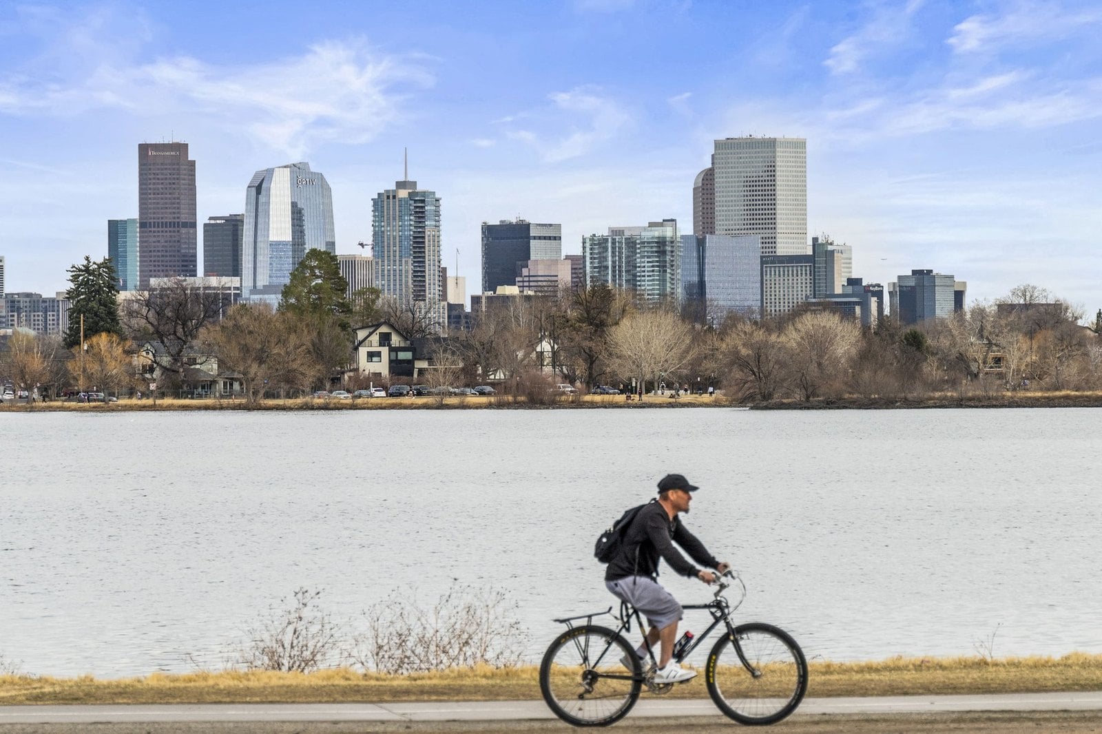
Washington Park covers about 165 acres in south-central Denver, with two large lakes, flower gardens, tennis courts, and a loop road that becomes a steady stream of runners and cyclists every morning. Homes in the surrounding blocks are a mix of original bungalows, Denver Squares, and newer rebuilds, and walking access to the park is one of the strongest drivers of value in the area.
Central Denver also offers two regional trails that are easy to reach from many neighborhoods. The Cherry Creek Trail follows the creek from downtown toward Cherry Creek State Park, and the South Platte River Trail runs north and south through the city. Both are separated from traffic for long stretches, which makes them practical for bike commuting as well as weekend rides. The trade-off is distance to the foothills, which is typically a 30 to 45 minute drive from central Denver.
Applewood and Golden: The Foothills Next Door
On the west side, Applewood sits at the base of the foothills with North Table Mountain and South Table Mountain close by. Both mesas have trail networks for hiking, running, and mountain biking, and Lookout Mountain and Red Rocks are a short drive. Applewood’s homes are mostly mid-century ranches and split-levels on larger lots, many with mountain views and room for gear storage, a workshop, or a garden.
Golden adds a walkable downtown along Clear Creek, with a creekside path, a whitewater park on Clear Creek, and trailheads that start at the edge of town. It is also one of the closest points in the metro to Interstate 70’s climb into the mountains. Our post on mountain views, trails, and outdoor space in Golden goes deeper on how those features affect value there.
The trade-offs are commute time to central Denver and a smaller selection of homes at any given moment. Inventory in Applewood and Golden can be limited, so being ready to move quickly helps.
Wheat Ridge and Lakewood: Trails, Parks, and Open Space
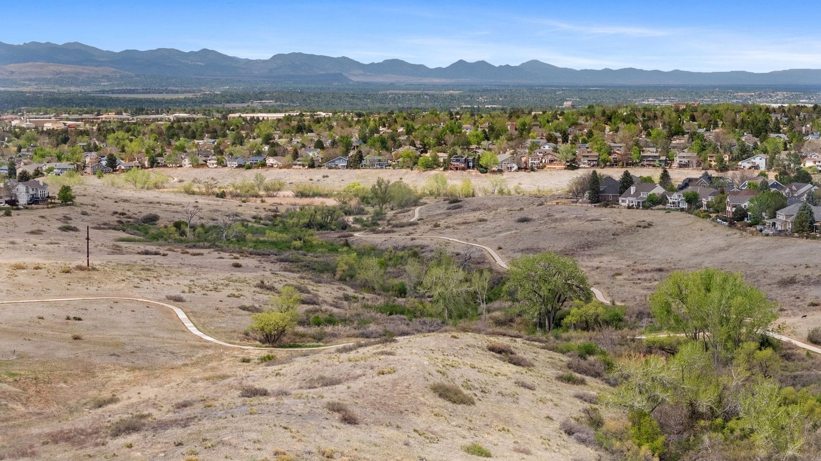
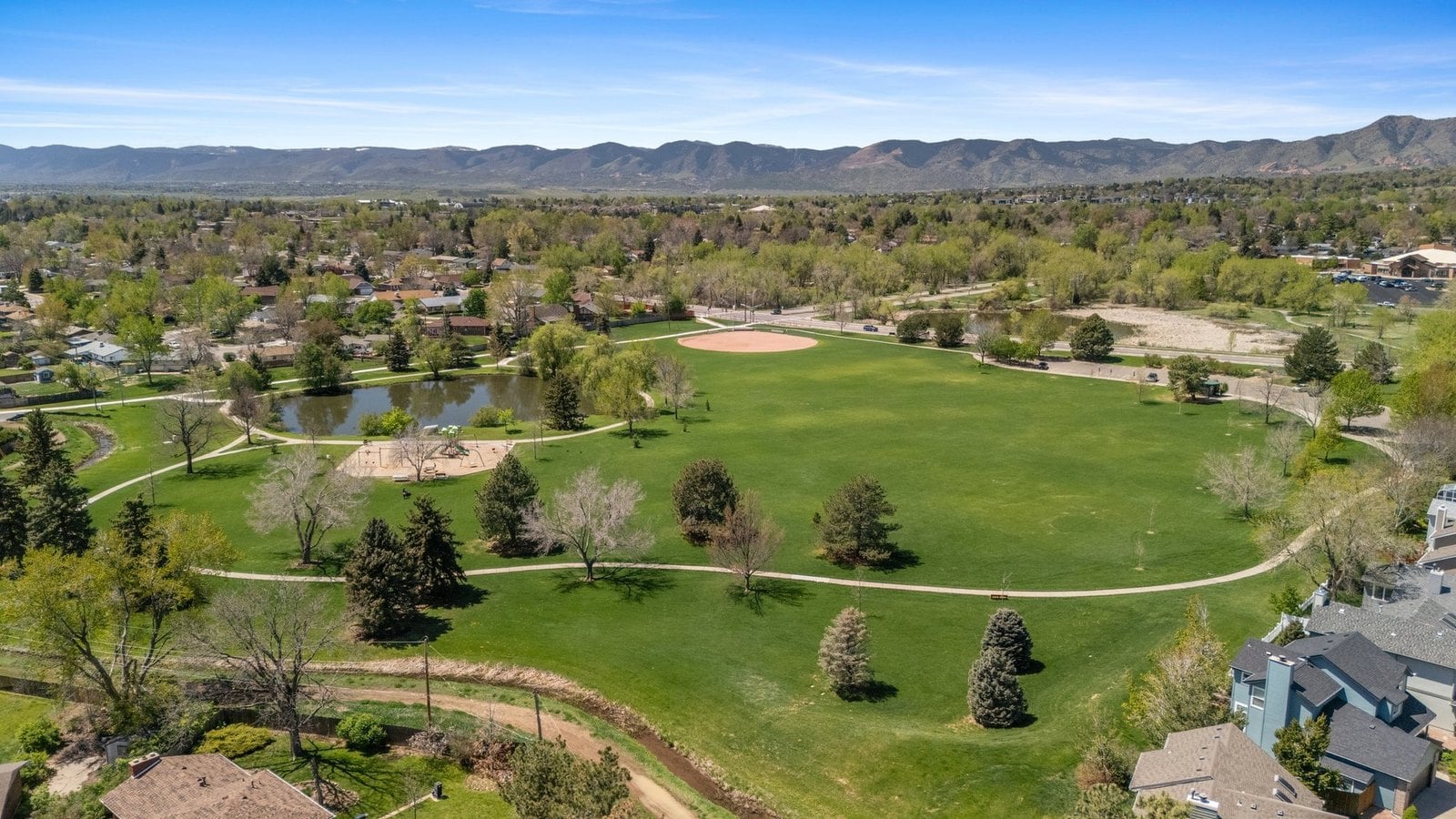
Wheat Ridge is one of the best-connected suburbs for trail access. The Clear Creek Trail runs through the city, linking parks, ponds, and open space along the creek and connecting west to Golden and east toward Denver. Crown Hill Park, on the border with Lakewood, adds a lake loop and a wildlife area. Housing is a mix of brick ranches, mid-century homes, and newer infill, often on lots larger than those in central Denver.
Lakewood stretches from the edge of Denver to the foothills. Green Mountain and Bear Creek Lake Park offer hiking and mountain biking within the city, and Red Rocks Park and Dinosaur Ridge are just to the southwest. Neighborhoods on Lakewood’s west side are among the closest in the metro to foothill trailheads.
The South Suburbs and the High Line Canal
For long, flat miles of trail, the High Line Canal Trail runs about 71 miles through the southern and eastern metro, passing through Denver, Greenwood Village, Cherry Hills Village, Littleton, Aurora, and other communities. Shaded by cottonwoods for much of its length, it is a favorite for running, walking, cycling, and horseback riding in areas where it is allowed.
Littleton and parts of southwest Denver also offer access to Chatfield State Park and the trails along the South Platte River. The trade-off is that the foothills and Interstate 70 are farther away than from the west side, though C-470 makes the drive to the southern foothills manageable.
How to Match a Location to Your Routine
The best way to narrow the search is to start with how you actually spend time outside. Jason asks clients a few simple questions before mapping out showings.
- Do you want daily access to a lake loop or park, or weekly access to foothill trails?
- How often do you drive into the mountains, and on which days?
- Do you need garage space for bikes, skis, kayaks, or other gear?
- Would you rather bike to work on a protected trail or drive?
- Is a larger yard or a shorter walk to the park more important?
From there, the map usually sorts itself out. Lake loops and large city parks are concentrated in central and northwest Denver, foothill trailheads are closest on the west side, and the longest stretches of flat trail follow the High Line Canal corridor.
Frequently Asked Questions
Which Denver neighborhood is closest to the mountains?
Within the metro, areas on the west side such as Applewood, Golden, and western Lakewood are closest to the foothills and to Interstate 70. From these areas, foothill trailheads are often only a few minutes away by car.
Can I bike commute in Denver?
Many people do, especially along the Cherry Creek Trail, the South Platte River Trail, and the Clear Creek Trail. These paths are separated from traffic for long stretches. Winter commuting is possible on many days because snow often melts quickly.
What is the biggest park in Denver for running?
Sloan’s Lake Park and Washington Park are two of the most popular for running, both with loop paths around their lakes. City Park also has a loop and is close to several central neighborhoods.
Are there hiking trails within the Denver metro?
Yes. North and South Table Mountain near Applewood and Golden, Green Mountain in Lakewood, and Red Rocks Park all offer hiking within a short drive of central Denver. Many trailheads are inside the metro area.
How long is the drive from Denver to ski areas?
The closest ski areas along Interstate 70 are roughly one to two hours from Denver, depending on traffic and weather. Living on the west side can shorten the drive and help you avoid some congestion.
Do homes near trails cost more in Denver?
Proximity to major parks and trails often supports value, especially within walking distance of popular lakes or loops. The effect varies by neighborhood and home type, so comparable sales are the best guide.
If you want help finding a home that fits the way you spend time outside, reach out to Jason Sirois and FORM at Compass Denver.
This article is for general information only. Trail access, park rules, and drive times change over time and vary by season, so verify details with the relevant city, county, and park agencies.